Gilgit-Baltistan & Chitral, Pakistan
Five Passes. Five Ways to Cross.
Click a pass below to step into it.
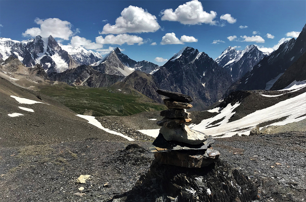
≈ 4,575 m
Moderate–Difficult
Darkot Pass
Yasin → Darkot village → Wakhan (Afghanistan)
- Historical role: Part of old trade and migration routes between Central Asia and the subcontinent
- Trekking: Moderate to difficult; usually snowbound most of the year
- Special feature: You can literally walk toward the Afghan border — very rare in Pakistan
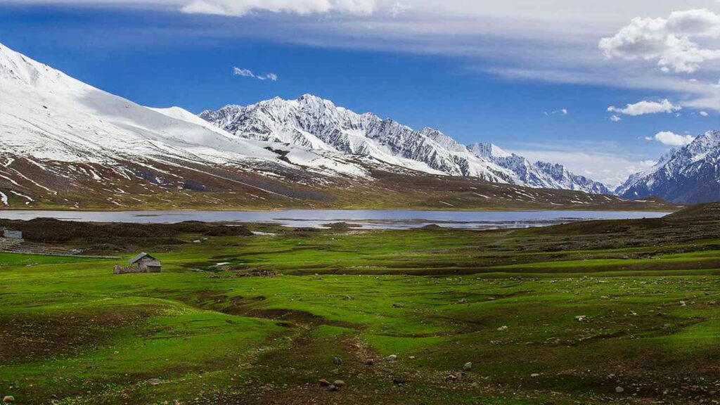
≈ 3,700 m
Accessible
Shandur Pass
Ghizer (Phander) ↔ Chitral
- Fame: Hosts the annual Shandur Polo Festival
- Accessibility: Jeep/road access in summer
- Landscape: Wide, flat plateau with Shandur Lake
- Nickname: "Roof of the World"
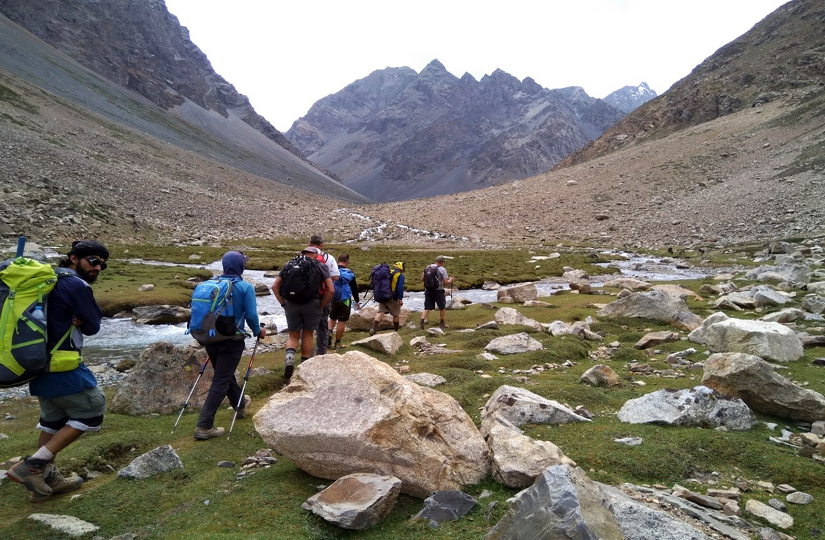
≈ 4,800 m+
Hard
Chillinji Pass
Ishkoman Valley → Chitral
- Difficulty: Hard (glaciers, crevasses, weather risks)
- Use: Mostly trekkers and experienced locals
- Importance: Alternative connection between Ghizer and Chitral

≈ 5,150 m
Very Challenging
Hispar Pass
Nagar (Hunza side) ↔ Baltistan (Skardu side)
- Glaciers: Connects Hispar Glacier and Biafo Glacier — one of the longest glacial systems outside the poles
- Difficulty: Very challenging expedition trek
- Famous for: Continuous glacier walking for days
≈ 4,700 m
Moderate–Hard
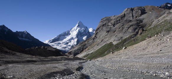
Thoi Pass
Yasin Valley → Thoi → Chitral
- Type: Trekking pass (no road)
- Difficulty: Moderate to hard
- Local use: Historically used by shepherds and traders